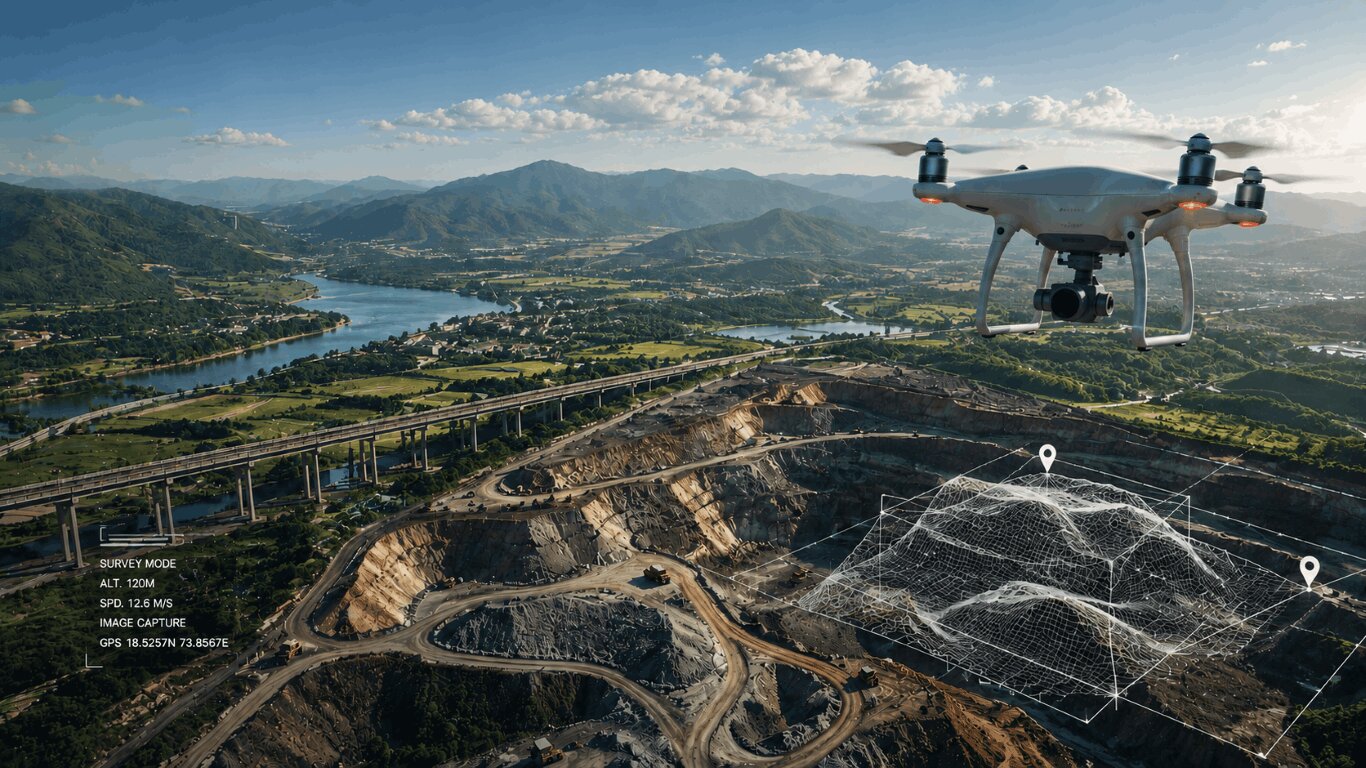
Advanced Drone Surveys with AI
Fast. Accurate. Ground-Verified.
End-to-end drone services for agriculture, infrastructure, mining, railways, and government. AEROSIR delivers high-accuracy aerial data that drives real decisions.
Our Drone Services
Professional UAV solutions across nine verticals — from data capture to actionable deliverables
Why Partner with AEROSIR?
Licensed pilots, enterprise-grade equipment, and domain expertise — delivering data you can act on.
Survey-Grade Precision
Sub-centimeter accuracy using RTK/PPK-equipped drones and calibrated sensors
Rapid Mobilization
Deploy to project sites across MP and neighboring states within 48 hours
End-to-End Delivery
From flight planning to final outputs — orthomaps, 3D models, and reports
DGCA-Compliant Operations
All flights conducted by licensed Remote Pilots under Drone Rules 2021
Projects We've Delivered
Real operations across industries — demonstrating precision, scale, and reliability
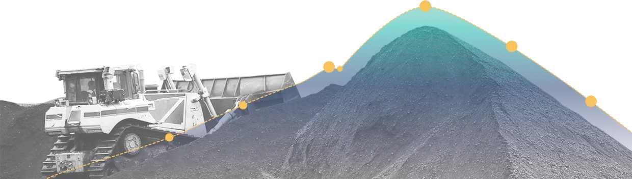
Coal Mine Volumetric Analysis
99% accuracy in stockpile measurements, replacing weeks of manual survey
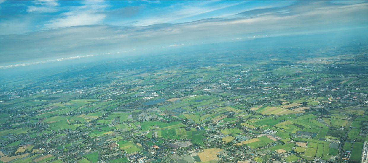
Precision Agriculture Mapping
Accelerated crop insurance claims across 10,000+ hectares

National Highway Corridor Survey
50 km corridor surveyed in 5 days with sub-10 cm positional accuracy

We Also Train Certified Drone Pilots
AEROSIR operates Central India's authorized Remote Pilot Training Organization — developing the next generation of licensed drone professionals.
Ready to Discuss Your Project?
Tell us your site, scope, and deliverables — we'll design the right UAV solution and get back to you promptly.