Road Surveys & Highway Inspections
Advanced drone technology for comprehensive road infrastructure assessment, traffic analysis, and highway monitoring across Central India.
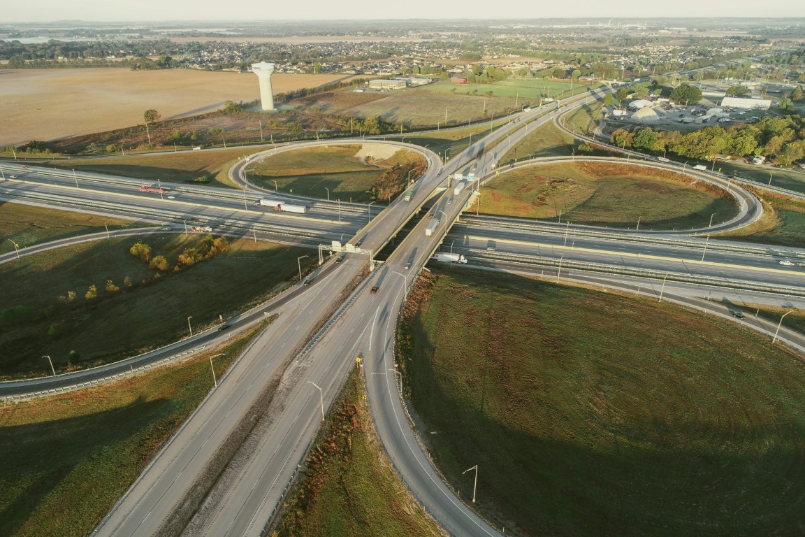
Comprehensive Road Infrastructure Solutions
AEROSIR provides advanced drone-based road survey services that transform how infrastructure projects are planned, executed, and maintained. Our high-resolution aerial surveys deliver centimeter-level accuracy for road alignment, pavement condition assessment, and traffic pattern analysis.
From national highways to urban roads, our UAV technology captures detailed data faster and more safely than traditional survey methods, reducing project timelines and costs significantly.
- Highway corridor mapping and alignment
- Pavement condition assessment
- Traffic flow analysis
- Bridge and flyover inspection
- Accident blackspot identification
- Roadside infrastructure inventory
Applications
Highway Construction
Pre-construction surveys, alignment planning, and quantity estimation for new highway projects.
Road Maintenance
Pavement condition monitoring, crack detection, and maintenance planning for existing roads.
Traffic Studies
Vehicle counting, speed analysis, and congestion pattern identification for urban planning.
Bridge Inspection
Detailed inspection of bridge structures, decks, and supports without traffic disruption.
Accident Investigation
Accurate documentation of accident scenes for forensic analysis and insurance purposes.
Asset Inventory
Complete inventory of roadside assets including signs, lamps, and utility poles.
Industries We Serve
Ready to Transform Your Road Surveys?
Get accurate, fast, and cost-effective drone survey solutions for your infrastructure projects.