Our Projects
Real-world drone operations showcasing our expertise across various industries
Featured Case Studies
Explore our portfolio of successful drone operations across India
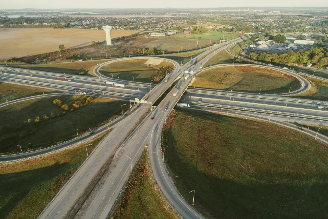
National Highway Survey
Challenge: Slow and inaccurate traditional surveying for a 50km highway expansion project.
Solution: Used drone-based topographic surveying and 3D terrain modeling for rapid data collection.
Outcome: Completed survey in 5 days instead of 30, with sub-centimeter accuracy for design engineering.
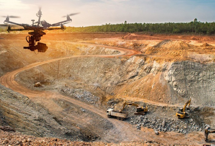
Coal Mine Volumetric Analysis
Challenge: Inaccurate and dangerous manual measurement of coal stockpiles across a large open-cast mine.
Solution: Regular automated drone surveys for volumetric calculations and stockpile management.
Outcome: Achieved 99% accuracy in inventory measurement while ensuring zero safety risks for surveyors.

Precision Agriculture Monitoring
Challenge: Assessing large-scale crop damage across multiple districts for insurance claim settlements.
Solution: Deployed multispectral drones for automated crop health analysis and damage quantification.
Outcome: Accelerated claim processing by 70% with transparent, objective data for 10,000+ hectares.

Railway Track Monitoring
Challenge: Identifying track defects and encroachments over long distances without disrupting train traffic.
Solution: High-speed aerial inspection using high-resolution optical and LiDAR sensors.
Outcome: Detected 20+ critical maintenance points early, significantly improving operational safety.
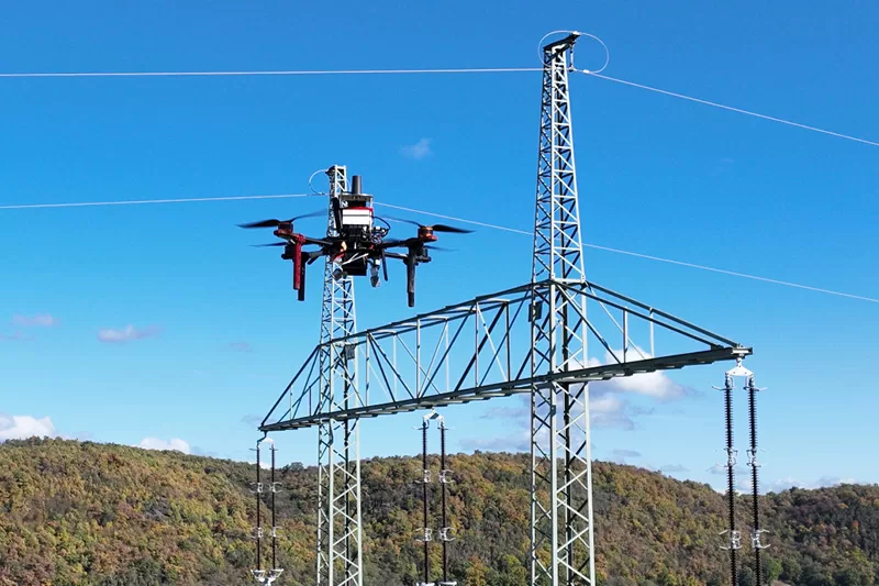
Power Line Thermal Inspection
Challenge: Risky manual inspection of high-tension transmission towers in difficult terrain.
Solution: Thermal imaging drones for remote detection of hot-spots in insulators and connectors.
Outcome: Inspected 150+ towers in 1/5th of the traditional time with no power shutdown required.

Smart City Digital Mapping
Challenge: Lack of updated high-resolution GIS data for urban planning and encroachment detection.
Solution: City-wide high-resolution orthomosaic mapping and 3D city modeling.
Outcome: Created a comprehensive digital twin of 150 sq km for urban development planning.