
Professional Drone Services
End-to-end UAV solutions for industries across Central India. From aerial surveys to infrastructure inspection, we deliver accurate data and results.
Our Services
Comprehensive drone solutions tailored to your industry needs

Aerial Data & Surveillance
Real-time aerial monitoring and data collection for various applications including security, event management, and infrastructure surveillance.
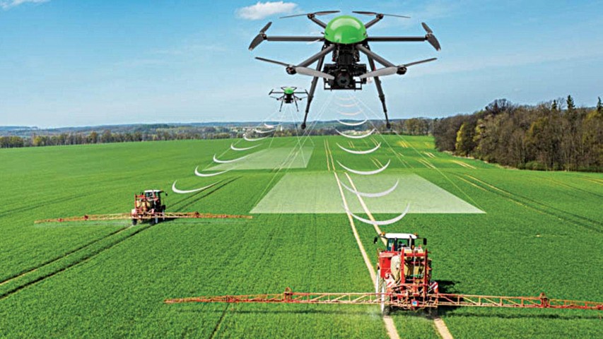
Agricultural Survey
Crop health monitoring, precision agriculture, and drone spraying services for modern farming operations.
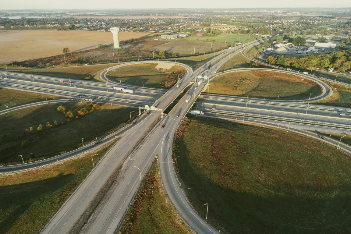
Road Surveys
Highway and road infrastructure surveys using advanced drone technology for accurate data collection.
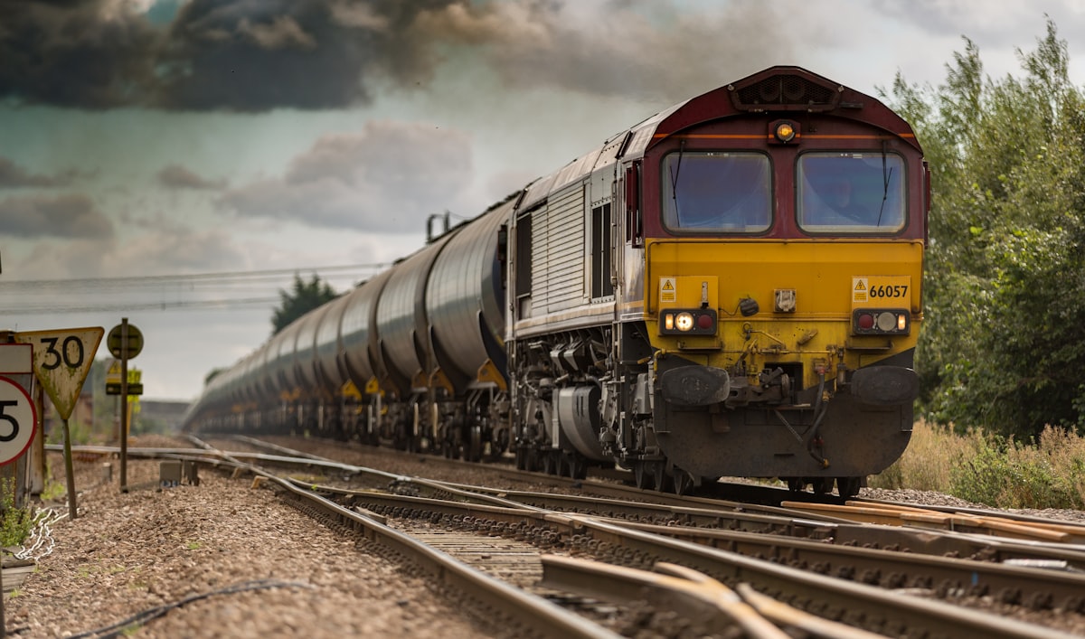
Railway Inspection
Comprehensive railway track inspection and monitoring using drone technology for improved safety.

Forest & Wildlife
Forest management, wildlife monitoring, and conservation surveys using aerial technology.
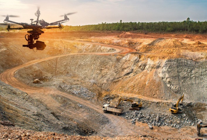
Coal Mine Survey
Mining site surveys, volumetric analysis, and safety monitoring for mining operations.
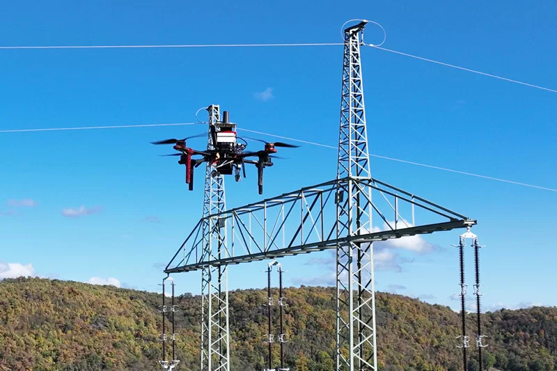
Drone Inspections
Comprehensive inspection services for infrastructure, towers, and industrial facilities.

Land Survey & GIS
Professional land surveying and GIS mapping services for accurate geospatial data.
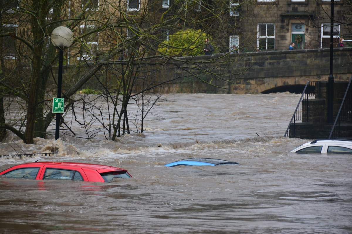
Disaster Management
Emergency response and disaster management support using aerial technology.
Industries We Serve
Expert drone solutions across multiple sectors
Why Choose AEROSIR for Drone Services?
- Experienced TeamCertified pilots with 50+ projects completed
- Advanced TechnologyLatest drones and sensors for accurate data
- Local ExpertiseBased in Bhopal, serving all of Central India